Labels and Footbridges
Written 09/07/21
We've just put online a new release of our map tiles. We do new releases regularly, not least to pick up any changes in the data coming from OpenStreetMap and the latest updates from Ordnance Survey's OpenData programme.
This release also a number of changes, some resulting in feedback from users after our last release. The most significant are:
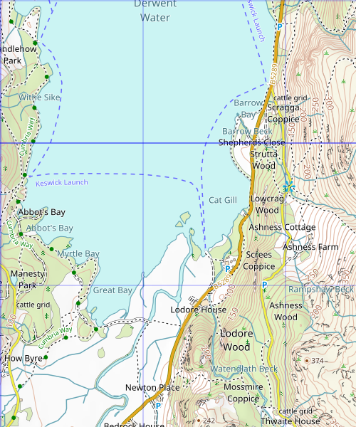
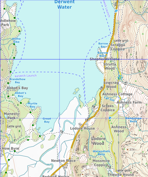
- We have changed to a new font, including weight and colour, for labels. This especially improves the labelling of waterways as you will see below.
- We are now marking footbridges on paths in rural areas.
You can these by moving the slider right to expose more of the old tiles of the area at the south end of Derwent Water.


These tiles are live so if you're using our tile server you will be seeing the updated tiles now.
| « | » |
